January 12, 2021 - Accomack County Airport, VA with Mugsy
|
|
Mugsy and I have been waiting for a warmer day to go flying. Yesterday temps were in the high 20s-low 30s, but today they were forecasted to be in the mid-40s in the afternoon. So we decided to go for it. But at nine in the morning it was still pretty cool. I haven't flown my plane in three weeks so I gave the engine a good pre-heat with the Red Dragon. Even so, my battery barely had enough juice to start the engine. I think I need a new battery.
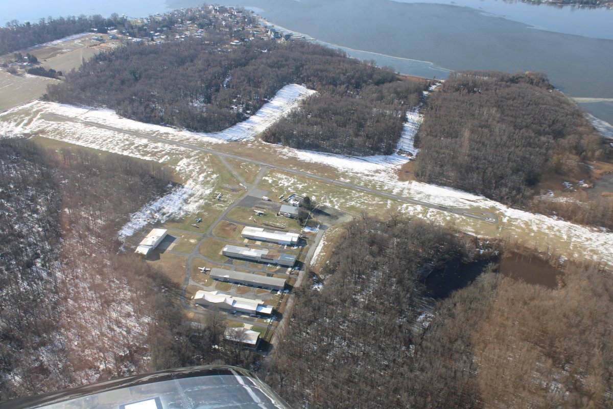
Essex Skypark looks almost nice with a little snow, remnants of a snow storm a little over a week ago which dumped at least a foot on the ground.
|
| |
 |
|
|
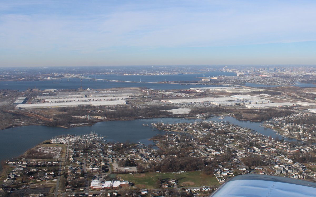
Looking northeast across Essex Skypark and on to the Chesapeake Bay. Martin State Airport is at top left.
|
| |
 |
|
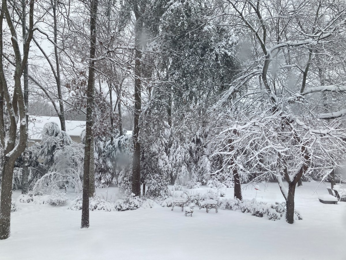
| Speaking of that snowstorm, this is the scene in my backyard a week ago Monday. |
| |
 |
|
|
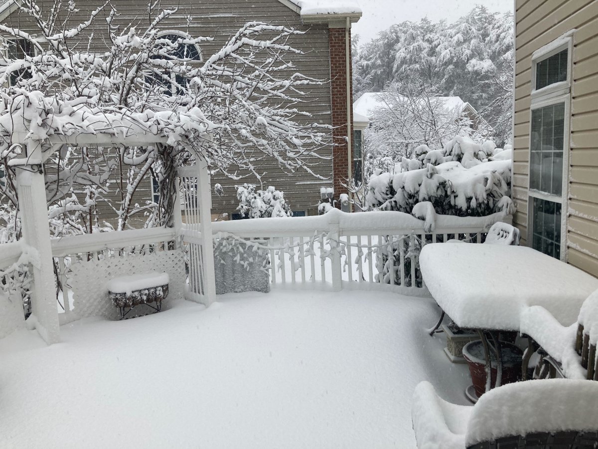
And my deck. We received eight inches, the most snow we've had in years.
|
| |
 |
|
|
Now looking west at Sparrows Point, then the Key Bridge and at upper right, Charm City itself, Baltimore.
Sparrows Point used to be covered with the Bethlehem Steel plant. Now all that is gone and huge warehouse like buildings now cover the point. Amazon owns three of them.
|
| |
 |
|
|
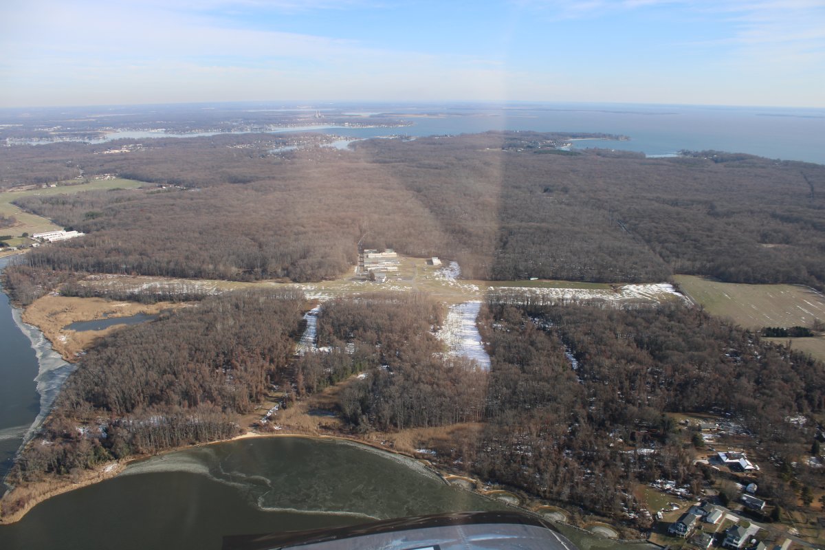
Not much snow left over the Eastern Shore.
|
| |
 |
|
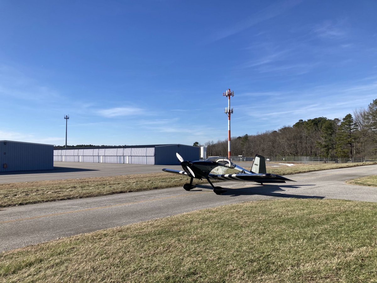
| Parked outside Mugsy's hangar at Easton Airport. There was a little wind this morning -- gusts up to 20 knots -- but it was right down the runway. No problemo. Later in the day the winds died down as forecasted. |
| |
 |
|
|
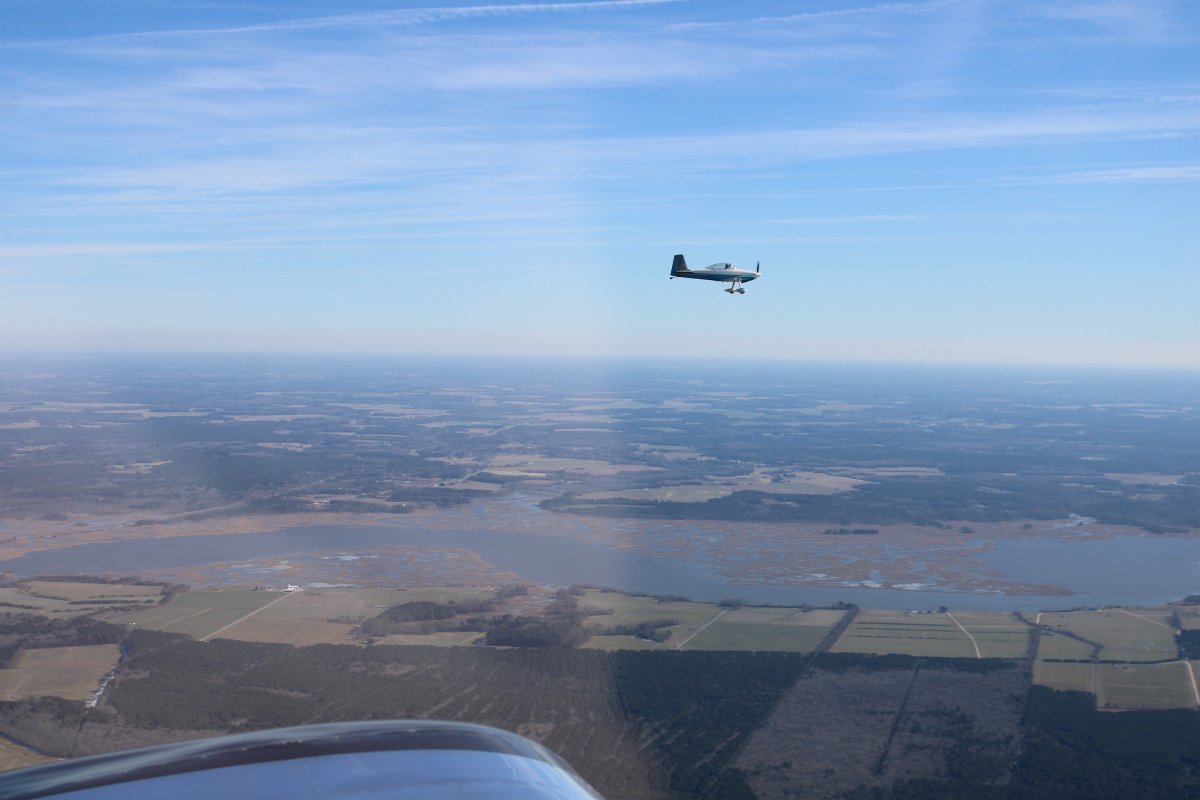
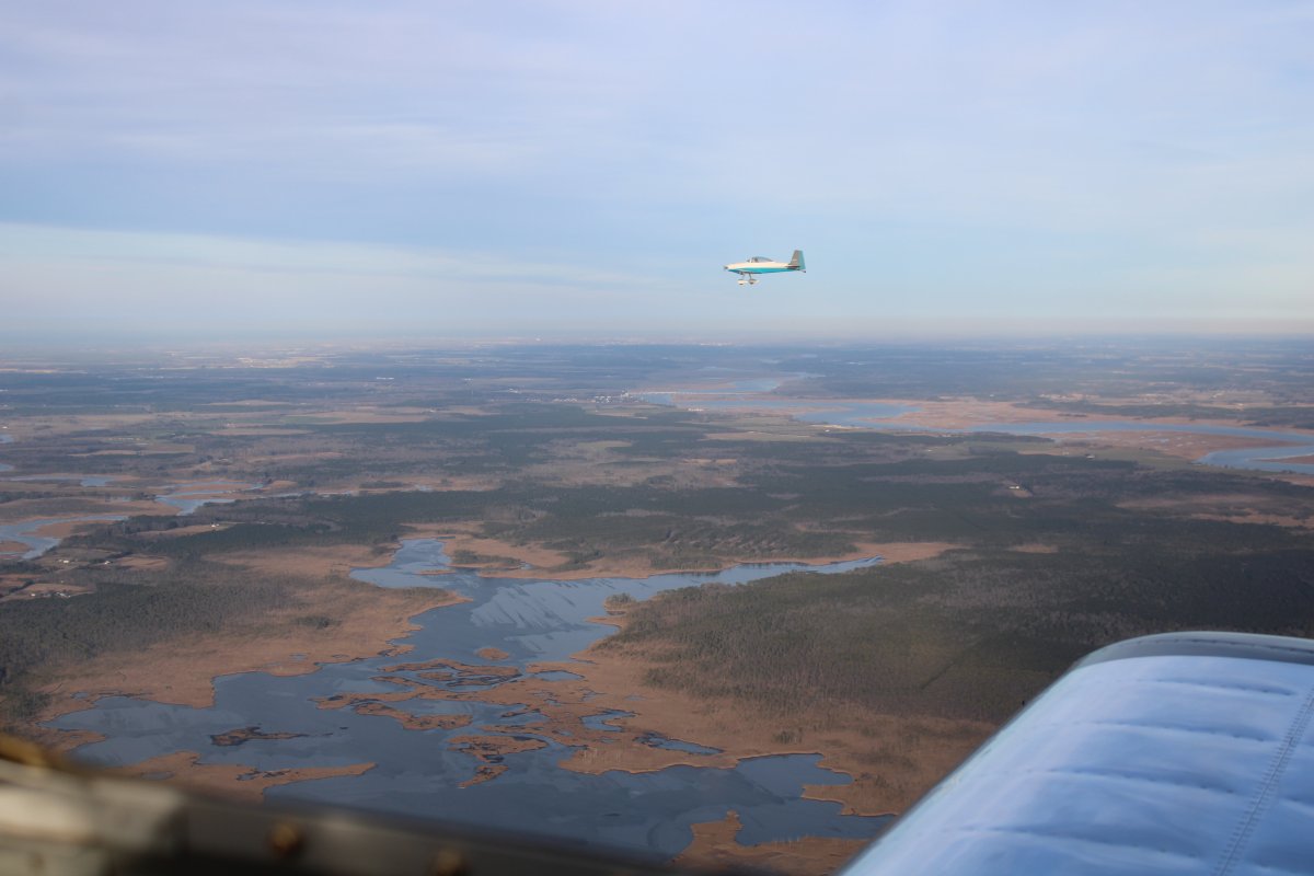
Mugsy and I winging our way south down the Delaware-Maryland-Virginia peninsula. Our destination is Accomack County Airport. They have a courtesy car which we will use to drive to Onancock for lunch.
The Choptank River parallels our route at this point.
|
| |
 |
|
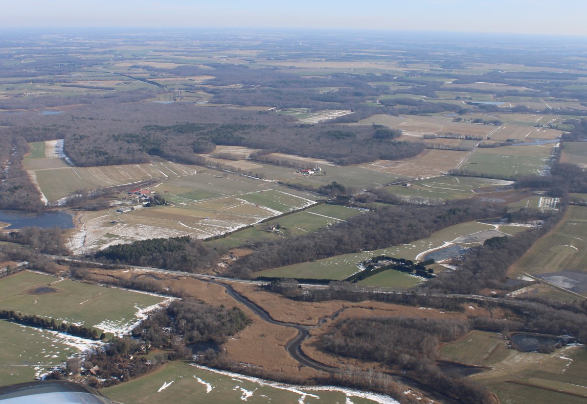
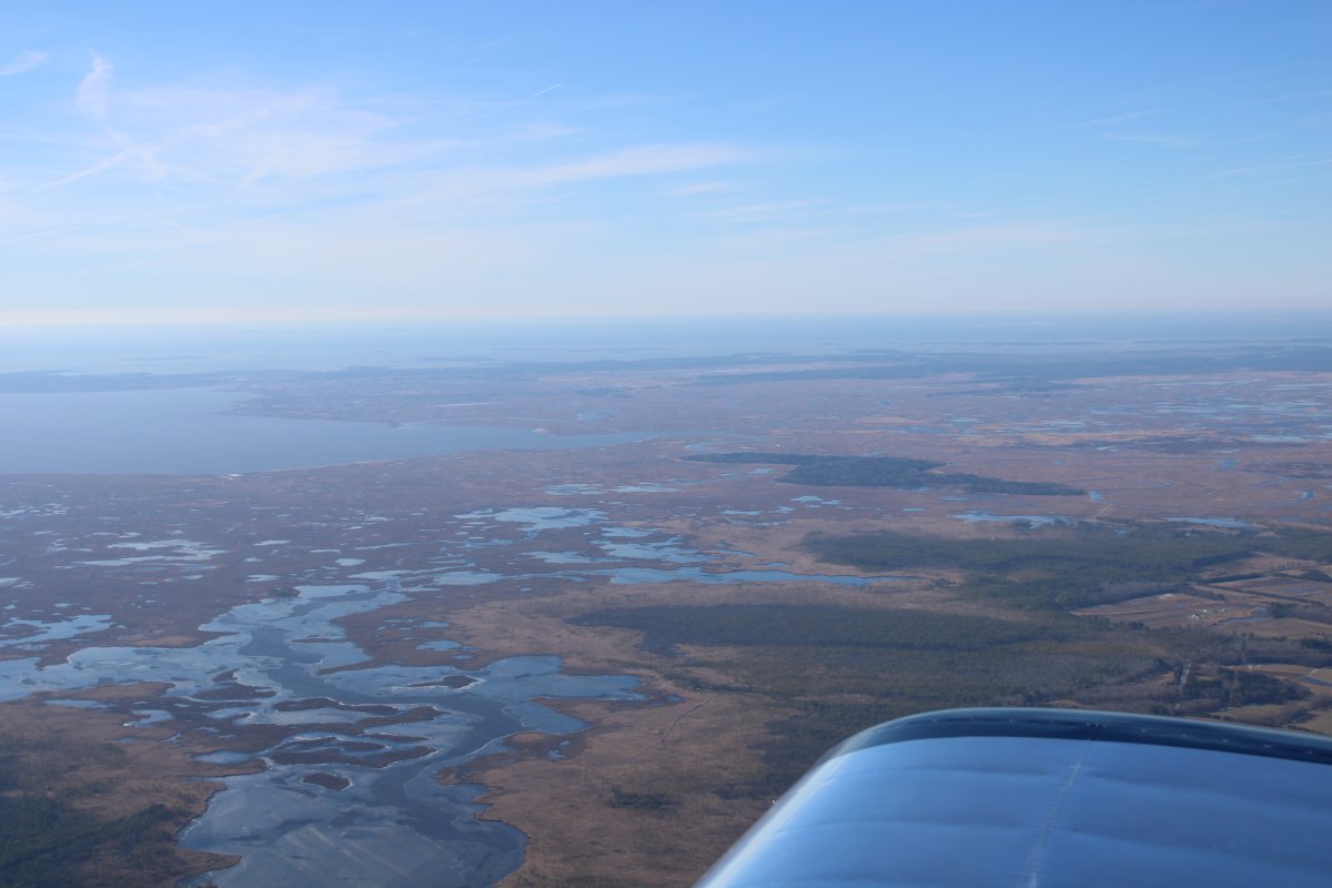
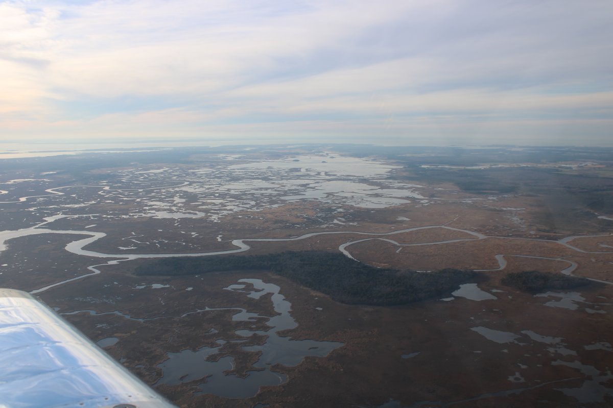
| Looking west at the Blackwater marsh, one of my favorite local places to fly. |
| |
 |
|
|
Looking east at the Delmarva peninsula and the Atlantic Ocean beyond.
|
| |
 |
|
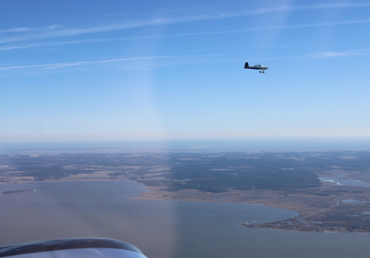
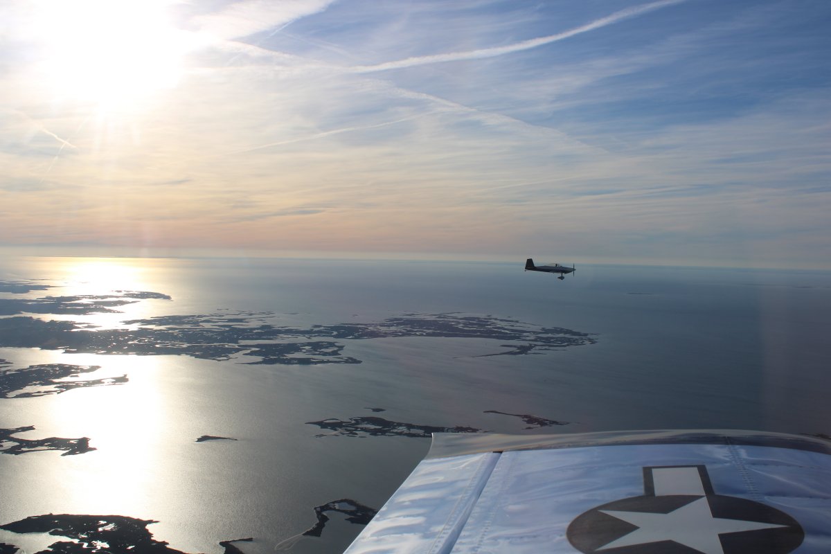
| Moving into loose trail beyond Mugsy as we approach our destination. |
| |
 |
|
|
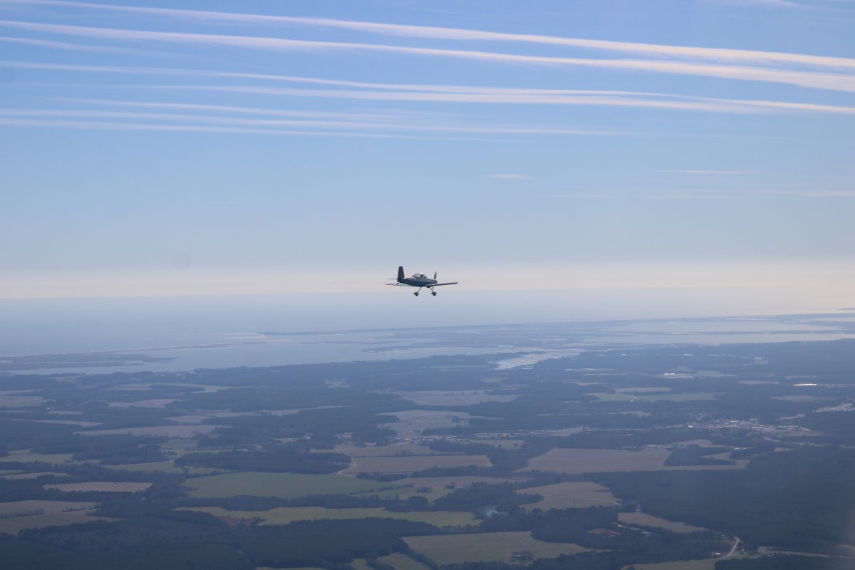
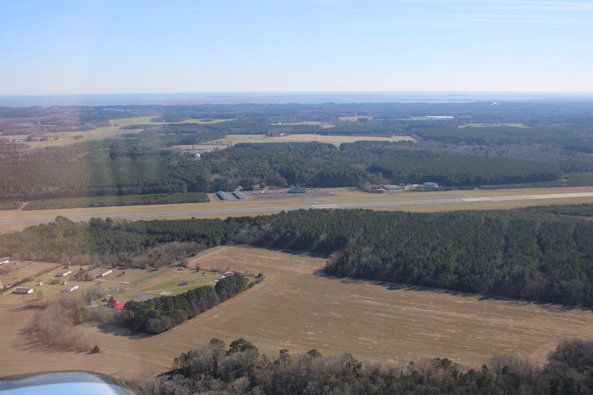
Accomack Airport is in sight off Mugsy's nose.
|
| |
 |
|
| On an upwind for runway 21 at Accomack. |
| |
 |
|
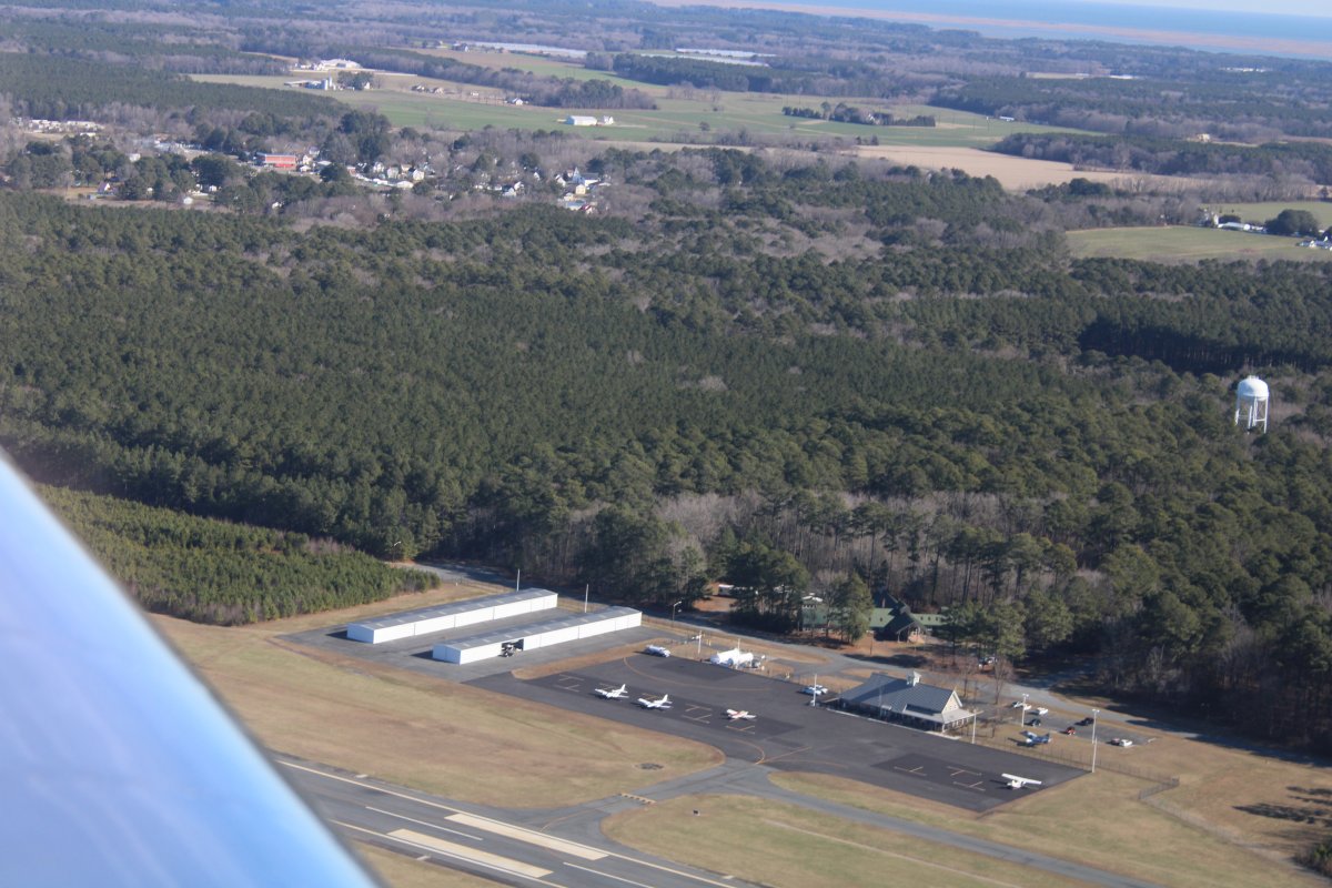
| Looking down at the Accomack terminal and ramp. |
| |
 |
|
|
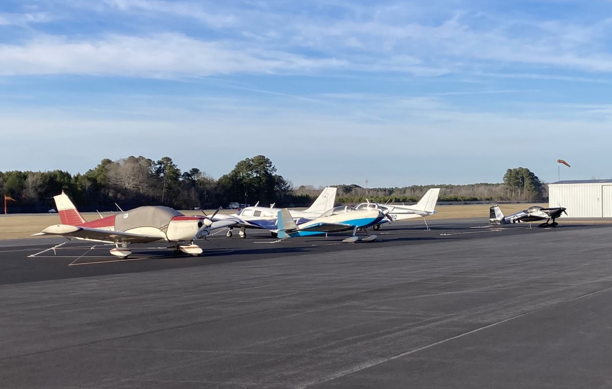
Safe on deck at Accomack Airport!
Accomack isn't a town, it's a County, which the airport is named after. The nearest town is tiny Melfa from which Accomack County airport gets its identifier KMFA.
|
| |
 |
|
|
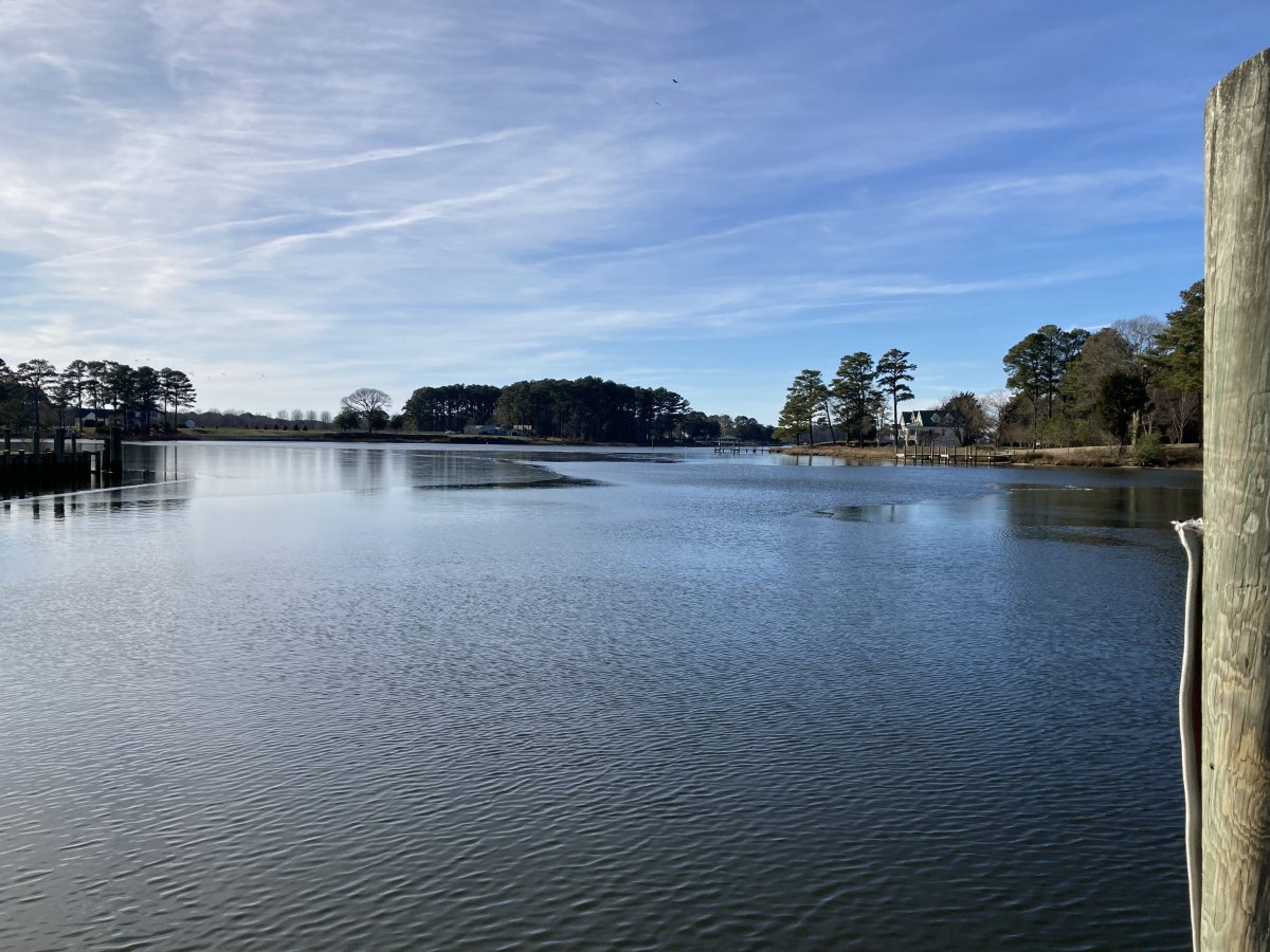
Mugsy and I borrowed the airport courtesy car and headed north up Route 13 through Melfa and on to Onancock, a charming little town on the east end of the South Branch Onancock Creek, pictured here.
|
| |
 |
|
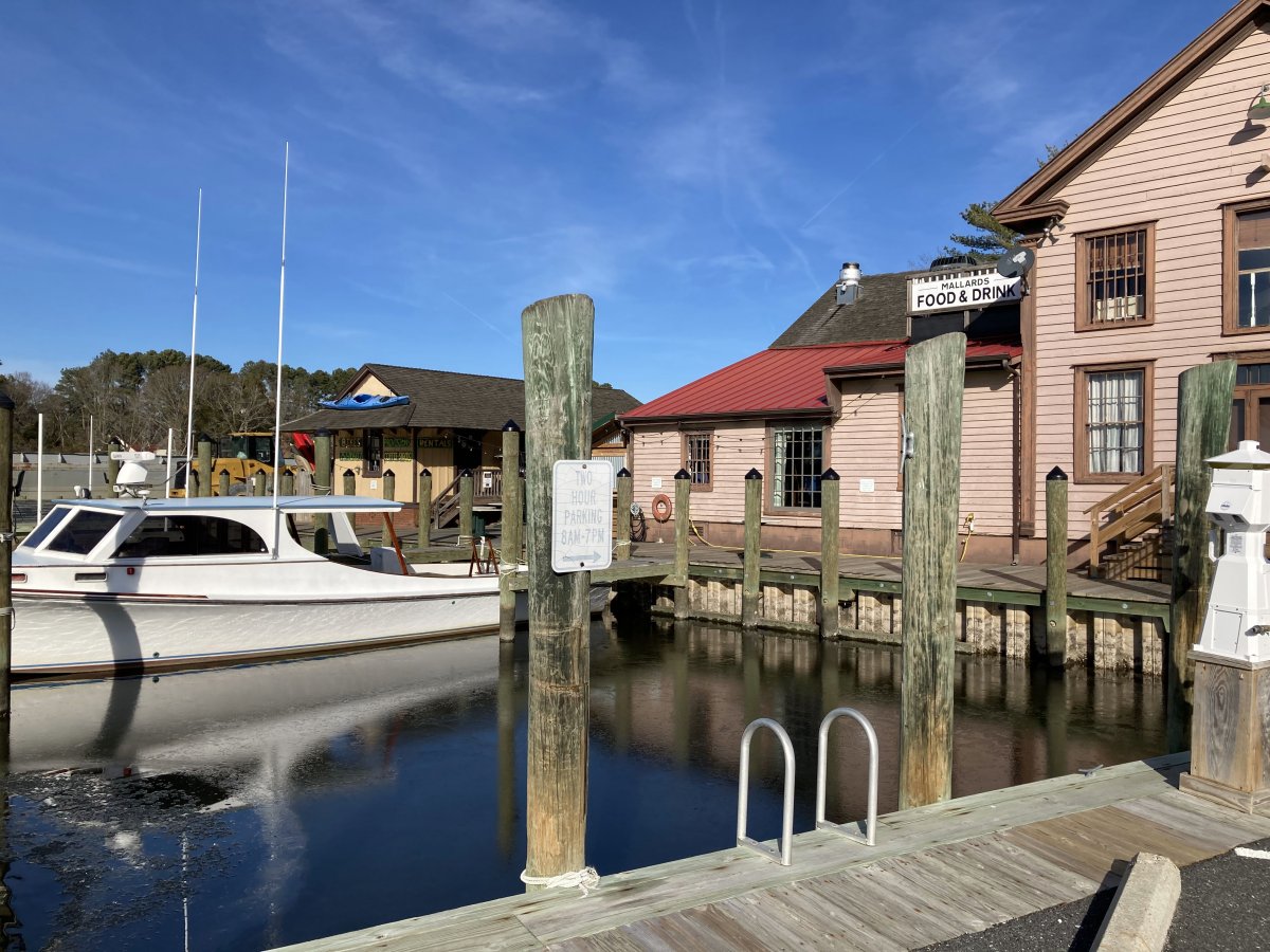
| I'll have to try Mallards At The Wharf some day. Today we ate at Janet's General Store and Cafe which was very good. |
| |
 |
|
|
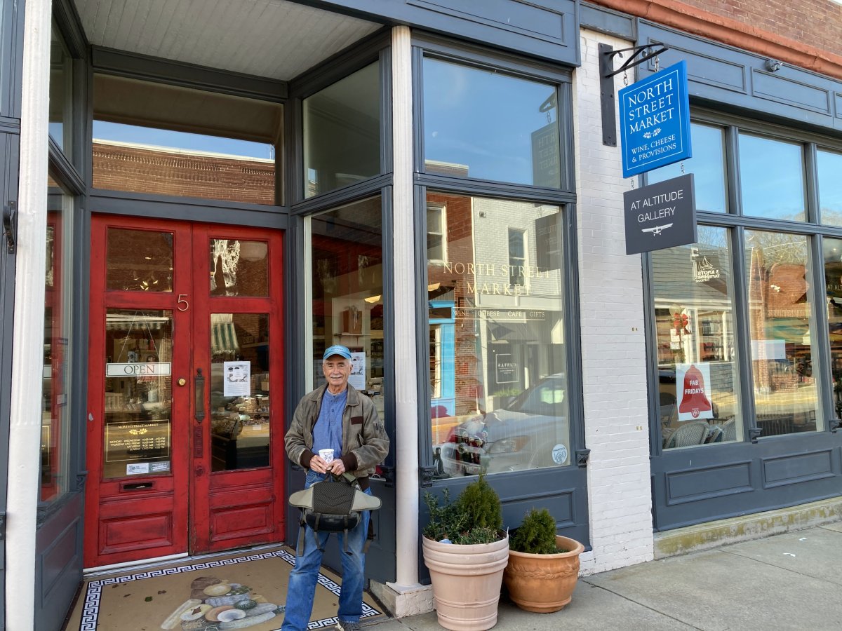
We stopped in at the "At Altitude Gallery" which a friend of ours who lives down here owns and features his beautiful aerial photography. We also had Cappuccinos to perk us up for the flight home.
|
| |
 |
|
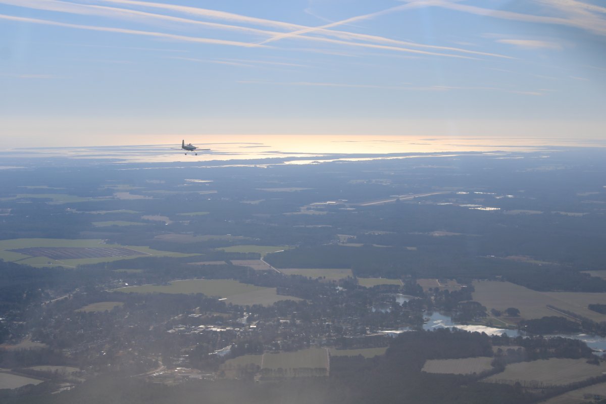
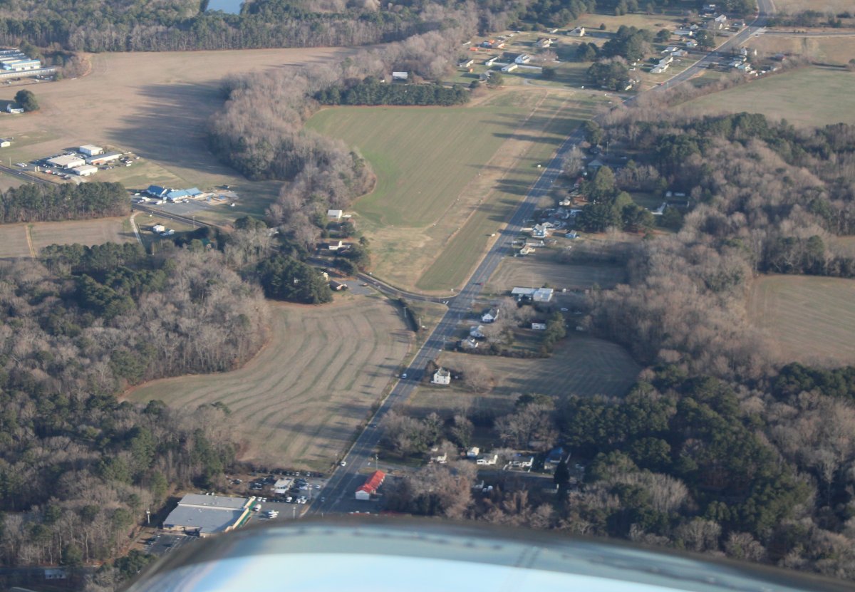
| After takeoff we flew directly over Onancock. Down below is a private grass strip alongside the road heading into Onancock. |
| |
 |
|
| It was late afternoon, we had smooth air, and it was nice and peaceful flying home. |
| |
 |
|
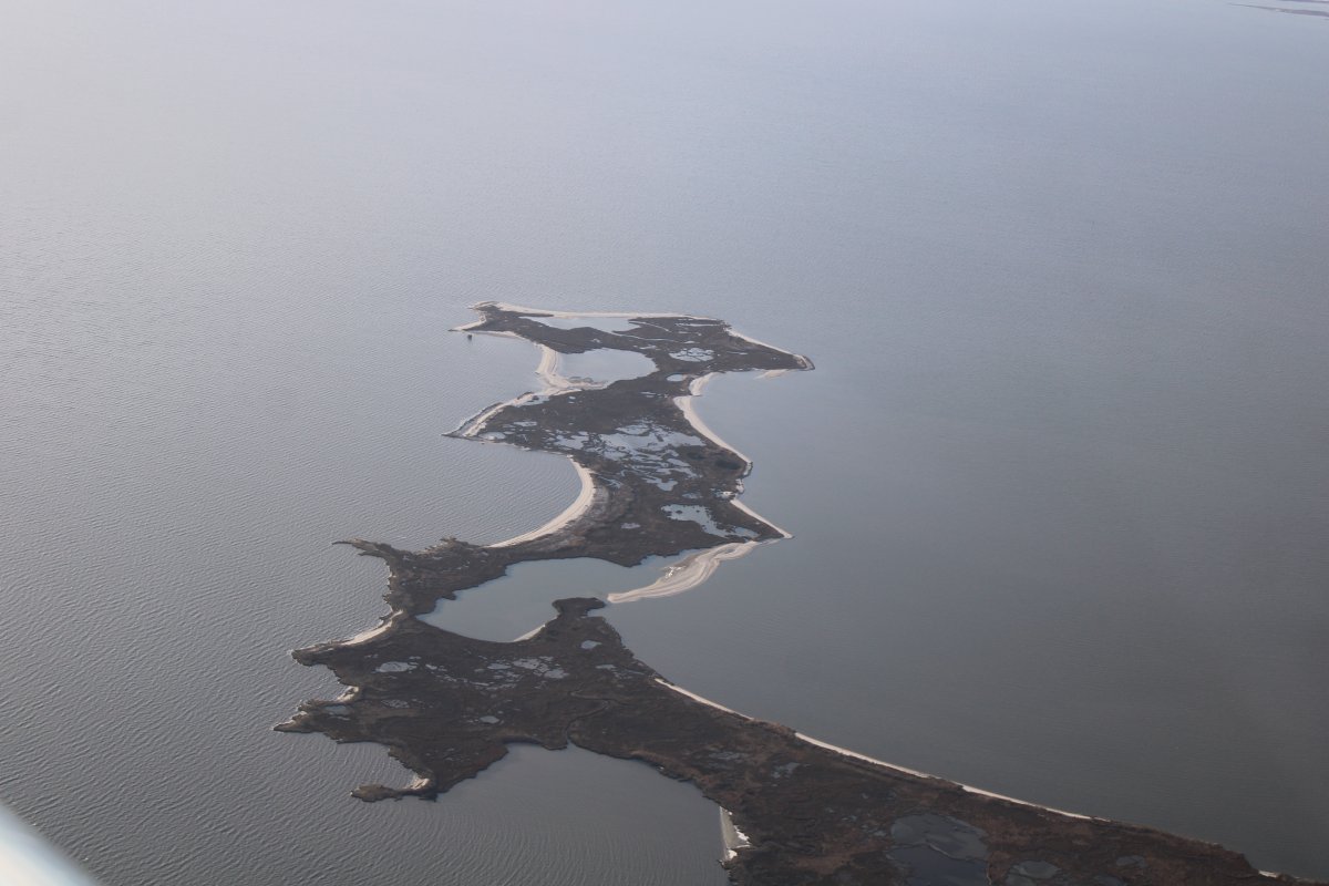
| Sand bars sticking out into the calm Chesapeake Bay make for some abstract art. |
| |
 |
|
|
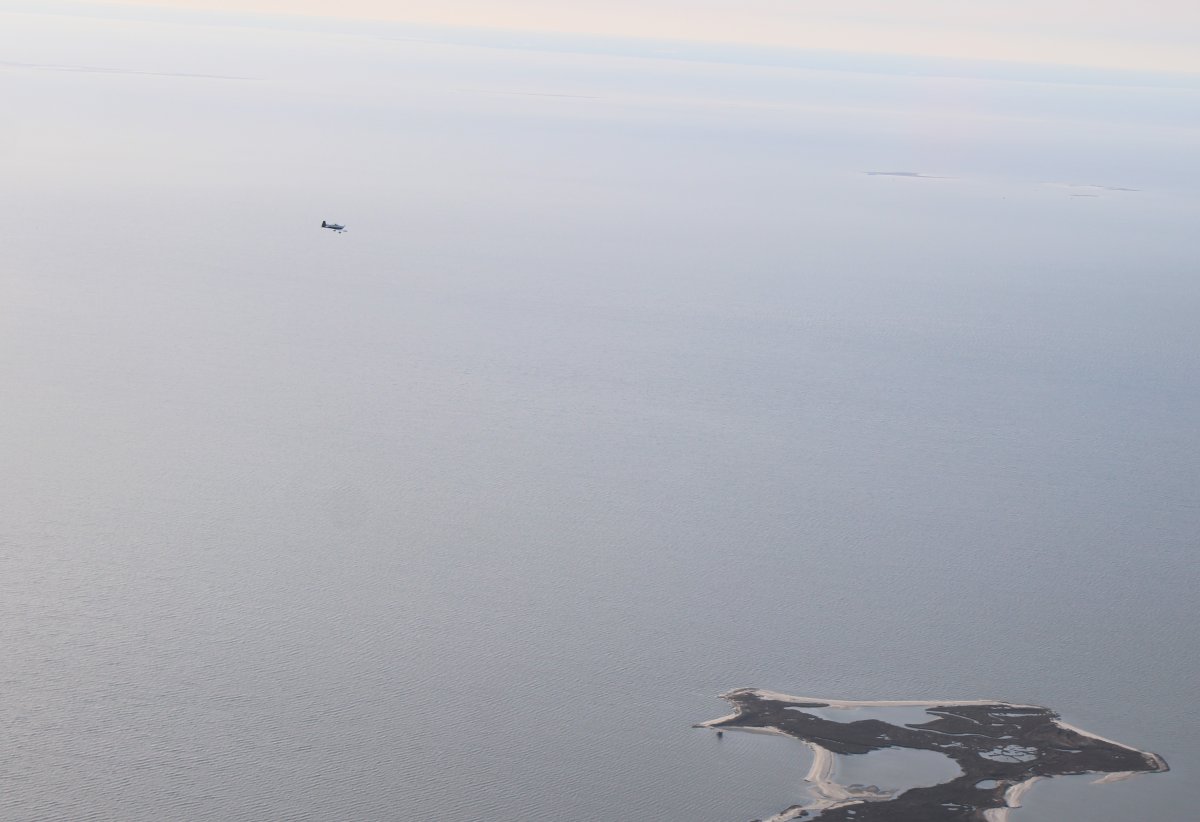
Mugsy must have seen something interesting as he dives down to take a look.
|
| |
 |
|
|
Looking northeast up the Nanticoke River.
|
| |
 |
|
| Looking northwest at the Blackwater marsh again. |
| |
 |
|
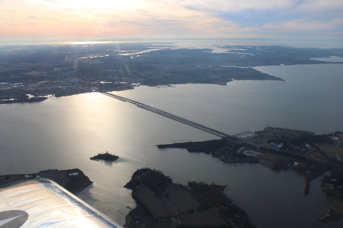
| Passing by the Choptank River Bridge -- Highway 50 -- with Cambridge at far left on the south side of the river. |
| |
 |
|
|
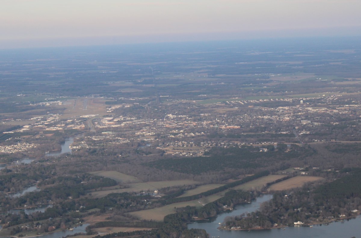
Looking northeast at Easton Airport on the left and the town of Easton on the right.
It was great to get out and do some flying on a pretty decent day for mid-January in Maryland.
|
| |
 |
|
| |
| |
|
|
|
|
|
|